Automatic Identification System (AIS)
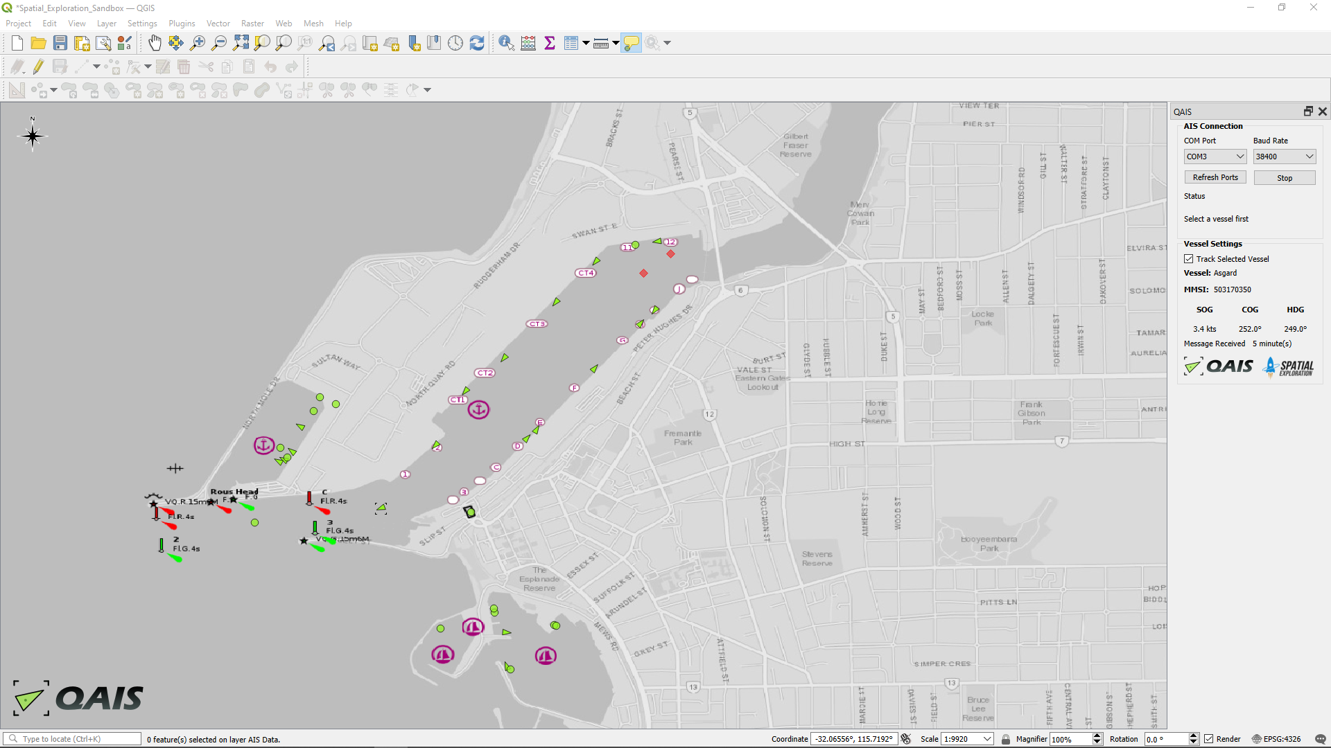
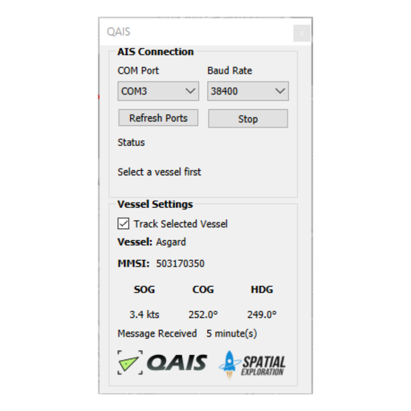
AIS is a messaging system which commercial vessels use to broadcast critical navigation information via a transponder. QAIS is a plugin for QGIS that reads and decodes AIS messages and displays live targets on the map layout.
With a simple, commercially available AIS receiver, you can convert QGIS into a powerful maritime tool; tracking targets, capturing navigational data and setting geofences.